How Directional Drilling Works in Memphis Ground
The embayment: deep, soft, and honest
Memphis rides the Mississippi embayment — a deep trough of unconsolidated sediments where bedrock is a rumor measured in hundreds of feet. East of the river, wind-blown loess caps the bluffs and uplands: fine silty ground that stands in a cut, drills smoothly, and rewards good fluid manners. Below and west spread alluvial sands and clays, wetter and looser, where buoyancy and pit management do the heavy lifting. It's cooperative ground with soft-ground rules: the profile you drill is the profile you keep, the water table participates, and fluid behavior in silts is the craft that separates crews.
The aquifer under everything
The Memphis Sand delivers the artesian drinking water this city is genuinely famous for, and the region treats it as the civic treasure it is. For drilling, that translates to standard practice, not special occasion: contained fluid systems, monitored returns, clean mixing and disposal, and a written response plan on every bore. The protective clay layers above the aquifer do their work; ours is making sure surface operations never test them. In Memphis, fluid stewardship is simply how the trade is practiced.
The sequence, river-city edition
Standard bones: One-Call locates in whichever state — all three systems run through this metro — plus private designating, potholes on every crossing utility, pilot bore on profile, reaming to roughly one and a half times product, pullback, restoration. Memphis bends: shored and pumped pits in the wet sands, ballasted pulls, rail coordination scoped wherever the freight map says so, and levee-world setbacks honored wherever the flood-control map says so.
Who owns what you're crossing
Municipal streets carry their cities' processes on all three sides of the metro; county roads carry nine counties' departments; the state systems run on TDOT, MDOT, or ARDOT utility permits by whose pavement it is. The river world — levees, floodways, drainage districts, harbors — carries district engineering review with federal flood-control interest where integrity is in play. Five Class I railroads permit their own extensive corridors. The quote names every owner on your alignment, because in this metro the ownership map is the hard part and the ground is the easy one.
Straight answers
Will you hit rock on my bore?
Almost certainly not — the embayment's sediments run deeper than any utility bore reaches, which is the metro's genuine drilling advantage. The honest cautions run the other way: soft-ground fluid behavior, buoyancy, and the occasional buried surprise a century of river-city construction left behind. The quote prices those instead of pretending granite.
How deep do bores run under Memphis streets?
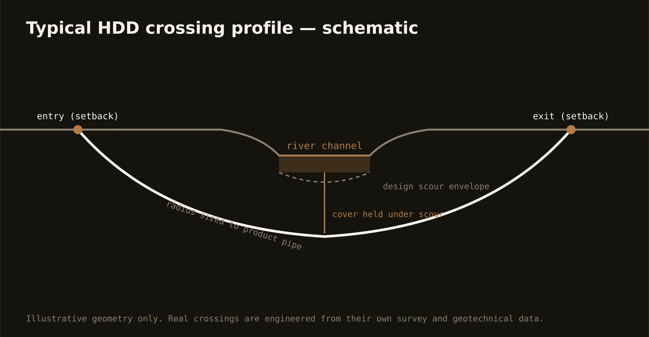
Cover follows the owning authority's standard and sits below everything potholed on the alignment; levee-world and rail crossings run to the administering district's or railroad's engineering. Soft ground permits efficient depths — the bore plan states your number before mobilization.
Does the New Madrid seismic zone affect utility bores?
It shapes the region's engineering culture — owners here often specify fused, restrained-joint product and thoughtful profiles precisely because the ground can move someday. Those are product and design decisions made by your engineer; our part is pulling what's specified on the profile the design calls for, verified rod by rod where it matters.
Ready to put a number on a real crossing? Send the scope — a person prices it.