Mississippi River Corridor & Levee Crossings
The river built this city, and its corridor still governs the region's hardest crossings. The Mississippi's engineered world — mainline levees, floodways, harbors, and the drainage districts that keep the delta side dry — carries rights-of-way whose crossing rules answer to flood-control engineering first and convenience never. A bore near or under any of it is an authority-stack project: the levee boards and drainage districts with their engineering review, federal flood-control interest where the levee system's integrity is in play, and the road and rail owners layered on top. Our quotes name the full stack and schedule to its calendar, including the high-water seasons when levee-adjacent work sensibly waits.
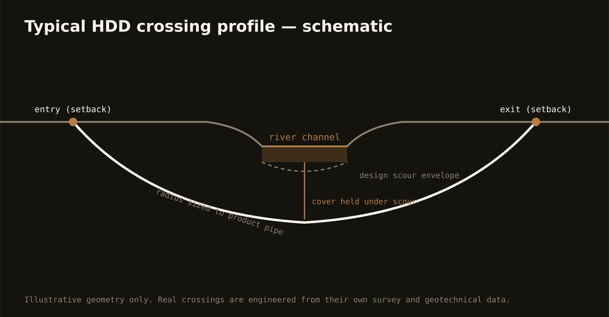
The corridor's everyday crossings are the tributaries and engineered channels — the Wolf, the Loosahatchie, Nonconnah Creek, and the harbor's edges — where the same discipline applies at friendlier scale: setback entry and exit clear of the protected sections, profiles holding cover under channel and scour, and exits that leave the flood-control geometry exactly as the district's engineers require.
Full-channel crossings of the Mississippi itself sit at the far end of the trade — mile-class engineered projects with federal navigation and flood-control review — and we scope them honestly as the programs they are, with the desk's national pattern library behind the estimate. Most work the corridor generates is nearer the bank than the middle, and it's the bank work this market runs on.